NCAR Community Earth System Model, EaSM Project Dataset
d316000
| DOI: 10.5065/D6TH8JP5
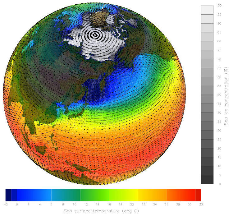
This dataset includes climate model output data from NCAR's Community Earth System Model (CESM) CMIP 5 runs, configured as CCSM4 (CAM4), with output fields for the 3-D global atmosphere at six hourly intervals. A basic set of parameters is provided on 26 model hybrid level surfaces: specific humidity, temperature, wind components, and geopotential height to support regional modeling studies. Additional parameters are provided on single level grids to support analysis studies including surface temperature. Data are available in yearly time-series parameter archive files, and monthly synoptic time archive files. An interface is provided to give users the option to select parameter, temporal, and spatial subsets from the monthly synoptic time archive files. The data are a single 20th Century (1950-2005) simulation and three concomitant Representative Concentration Pathway (RCP) future scenarios spanning 2005-2100. These computer runs were completed in 2011.
Users needing for WRF boundary conditions are recommended to use the bias corrected version of this dataset found in RDA dataset ds316.1, NCAR CESM Global Bias-corrected CMIP5 Output to Support WRF/MPAS Research.
NOTE: All RCP2.6 data has been removed due to corrupted data caused by a model bug.
| Air Temperature | Geopotential Height | Humidity | Precipitation Rate |
| Sea Level Pressure | Surface Pressure | Upper Air Temperature | Upper Level Winds |
Latitude Range: Southernmost=90S Northernmost=90N Detailed coverage information Detailed coverage information 1.25° x 0.942° from 0E to 358.75E and 90S to 90N (288 x 192 Latitude/Longitude)
 This work is licensed under a Creative Commons Attribution 4.0 International License.